Mustafa Serkan Isik
PhD in Geosciences
Biography
I am a post-doctoral researcher at the OpenGeoHub Research Foundation, located in the Netherlands. I taught computer programming, mathematical & physical geodesy lectures at the Department of Geomatics Engineering, Istanbul Technical University. My research interests include water cycle, agriculture, remote sensing, satellite geodesy, and ML/DL algorithms.
Interests
- Remote Sensing & EO Data
- Artificial Intelligence
- GNSS Reflectometry
- Satellite & Airborne Gravity
- Positioning Algorithms
Education
PhD in Satellite & Airborne Gravimetry, 2022
Istanbul Technical University
MSc in Gravity Field Modeling, 2016
Istanbul Technical University
BSc in Geomatics Engineering, 2014
Istanbul Technical University
Skills
Technical
Python
LaTeX & Generic Mapping Tools (GMT)
Matlab
Fortran
Softwares & Packages
Artifical Intelligence (Pytorch, Tensorflow, Sklearn)
Remote Sensing Data Processing (SNAP & ENVI)
Geographic Information Systems (QGIS)
GNSS (RTKLIB, Trimble Bussiness Center, Leica Infinity)
Experience
Post-doctoral Researcher
Responsibilities include:
- time-series analysis of earth observation data, analyzing satellite data and visualization
- developing land degradation and land potential modeling frameworks
- modeling Gross Primary Productivity, dynamics in canopy height, estimating gaps between potential and actual ecosystems
- building models using machine learning and statistics methods
Research Fellow (Post-doc)
Responsibilities include:
- Research on remote sensing, satellite geodesy, GNSS reflectometry, XAI, and positioning
- Teaching lectures on computer programming and geosciences
Researcher (Climate Change AI Project)
Research Assistant
Responsibilities include:
- Research on remote sensing, satellite geodesy, GNSS reflectometry, XAI, and positioning
- Teaching/assisting lectures on computer programming and geosciences
Scientific Advisor (KAMA PRES INDUSTRY & TRADE INC.)
Software Design for Determining the Ideal Movement Route of Robot Arms via LiDAR and Image Processing
Researcher (ITU General Research Project)
Methodological Research on the Improvement of Local Geoid Modeling, Project No: MGA-2018-41592
Researcher (ITU General Research Project)
Research on the Optimum Resolution of Digital Elevation Model for the Topographic Effect on Gravity Measurements, Project No: MGA-2018-41585
Project Research Assistant (Scientific research project funded by Scientific and Technological Research Council of Turkey (TUBITAK))
Projects
*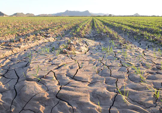
Climate Change AI Project: Using AI-driven Yield Estimation to Improve Resilience of Malian Cotton Farmers
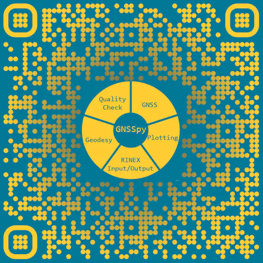
Python Toolkit for GNSS Data
Journal Papers
Quickly discover relevant content by filtering publications.
(2023).
Explainable Artificial Intelligence for Cotton Yield Prediction with Multisource Data.
IEEE Geoscience and Remote Sensing Letters, vol. 20, pp. 1-5.
(2023).
Improving Road Segmentation by Combining Satellite Images and LiDAR Data with a Feature-Wise Fusion Strategy.
Applied Sciences, 13(10).
(2022).
Improvement of GOCE-Based Global Geopotential Models for Gravimetric Geoid Modeling in Turkey.
Geosciences, 12(12), 432.
(2022).
Soil Moisture Prediction from Remote Sensing Images Coupled with Climate, Soil Texture and Topography via Deep Learning.
Remote Sensing, 14(21).
(2022).
Geoid modeling with least squares modification of Hotine’s integral using gravity disturbances in Turkey.
Earth Science Informatics, 15(1889–1904).
(2022).
Generation of Istanbul Road Data Set using Google Map API for Deep Learning-Based Segmentation.
International Journal of Remote Sensing, 43(8).
(2022).
Investigation of the Geoid Model Accuracy Improvement in Turkey.
Journal of Surveying Engineering, 148(3).
(2021).
Colorado geoid computation experiment - Overview and summary.
Journal of Geodesy, 95(127).
(2021).
High-Resolution Geoid Modeling Using Least Squares Modification of Stokes and Hotine Formulas in Colorado.
Journal of Geodesy, 95(49).
(2020).
An Investigation on Accuracy Analysis of Global and Regional (High Resolution) Digital Elevation Models (in Turkish).
Afyon Kocatepe Üniversitesi Fen Ve Mühendislik Bilimleri Dergisis, vol. 20, issue 4, pp. 598-612.
(2020).
Assessment of Gridded Gravity Anomalies for Precise Geoid Modeling in Turkey.
Journal of Surveying Engineering, 146(3).
(2020).
An Assessment of the GOCE High-Level Processing Facility (HPF) Released Global Geopotential Models with Regional Test Results in Turkey.
Remote Sensing, 12(3), 586.
(2018).
Preliminary results of GOCE-based height system unification between Greece and Turkey over marine and land areas.
Acta Geodaetica et Geophysica, 53, 61–79.
Conference Papers
Quickly discover relevant content by filtering publications.
(2023).
Feature-wise Fusion of Optical Satellite Images and LiDAR Data: Pathway to Enhance Road Segmentation.
In AGU Annual Meeting 2023.
(2023).
Corn Yield Prediction with Multi-Dimensional Earth Observation Data Using Machine Learning.
In 19. Türkiye Harita Bilimsel ve Teknik Kurultayı.
(2023).
Machine Learning Based Soil Moisture Estimation using CYGNSS Mission.
In 19. Türkiye Harita Bilimsel ve Teknik Kurultayı.
(2023).
Explainability of end and mid-season cotton yield predictors in CONUS.
In IEEE IGARSS 2023.
(2023).
Informative Earth Observation Variables for Cotton Yield Prediction Using Explainable Boosting Machine.
In IEEE IGARSS 2023.
(2023).
Interpretable cotton yield prediction model using Earth Observation time series.
In IEEE IGARSS 2023.
(2023).
Monitoring Daily Soil Moisture in CONUS Region with CYGNSS Satellites.
In TUFUAB 2023.
(2023).
Multi-source Data Fusion for Estimation of Soil Moisture with LSTM.
In TUFUAB 2023.
Datasets
Recent & Upcoming Talks
Awards
Incentive Award
Best Poster Presentation Award
Contact
- isikm@itu.edu.tr / mustafaserkanisik@gmail.com
- İstanbul Teknik Üniversitesi, Ayazağa Kampüsü, İnşaat Fakültesi, Geomatik Mühendisliği Bölümü, Ofis No:412, 34469 Sarıyer, İstanbul,
- ITU Faculty of Civil Engineering, Department of Geomatics Engineering, Office No:412, Maslak, Istanbul
- DM Me